Swift Camp Loop
10.6 miles hiking, 13 miles paddling (1.5-3.5 days)
Hiking Drags On, Best Float In The Park If It’s Running
Overview
This is easily my favorite of the loops listed here. Up front, the hiking on this loop is…a bummer. Compared to most of the trails in the park, anyway. If upper Swift Camp Creek is running, it’s absolutely worth it though. Upper Swift Camp Creek is varied, mysterious, sinuous, interesting, awe-inspiring, and unforgettable. Experiencing it from the canyon itself is much better than whatever limited views you may have gotten through the trees from the trail above.
Parking
To break up the hiking, you can park at the Swift Camp trailhead near Angel Windows. To do all the hiking up-front, park at the Chimney Top Creek trailhead on the north side of KY715. However, I prefer to start from the Copperas Creek trailhead, which is at the KY715 bridge over the Red. This splits the packrafting up into two sections and gives the route a more fun flow.
Route
From the 715 bridge, put in on the Red River. The Red usually flows slowly at a nice relaxing pace. You may need to paddle to even get your boat to move downstream in some areas. This float is 5.5 miles long. I much prefer to experience the river valley from a boat than from a car. This is classic southeastern floating, with constant views of the cliff faces overhead. A little over a mile after passing Gladie Creek (and Learning Center), you’ll float under the Sheltowee Trace hiker suspension bridge. You can take out here if you’d like to hike across the suspension bridge, but I’d float a quarter mile further to Jump Rock on the left before taking out.

Hike south on the Sheltowee, up Chimney Top Creek. Across Chimney Top Creek to the west is Hanson’s Point, a remote overlook and popular camping area for those who know how to get there. Follow the Rough Trail east. After you cross two roads, the trail becomes Swift Camp Creek Trail. This winding trail heads south, occasionally giving you a view down into Swift Camp Creek. When you near Rock Bridge Arch, don’t follow the asphalt tourist path upward. Continue left, staying close to the creek. You’ll arrive at Rock Bridge Arch and Creation Falls as the southern extent of this loop. There is a flat area to camp immediately north of here, a few hundred feet away from the west side of the trail. Good camp sites beyond here in Swift Camp Creek Canyon are difficult, but not impossible, to find. People like to play in the creek here, and you can walk across Rock Bridge Arch. Hope you brought your camera.


If the water level is high enough, you can inflate boats again and begin to paddle your way down Swift Camp Creek Canyon, starting by paddling under Rock Bridge Arch. The next 7.5 miles of paddling will be the scenic highlight of the trip. In shallow areas, you may need to frequently get out and “line” your boat in front of you like you’re walking a dog, so it helps to have a short cord tied to the rear of the boat for that purpose here. If the water is discouragingly low, just hike in the creek bed. It’s much more scenic than the trail above, and is a worthwhile hike in its own right. Don’t miss Pooch’s Turtle Falls (it’s out of sight but you can hear it) as you make your way north in the creek.


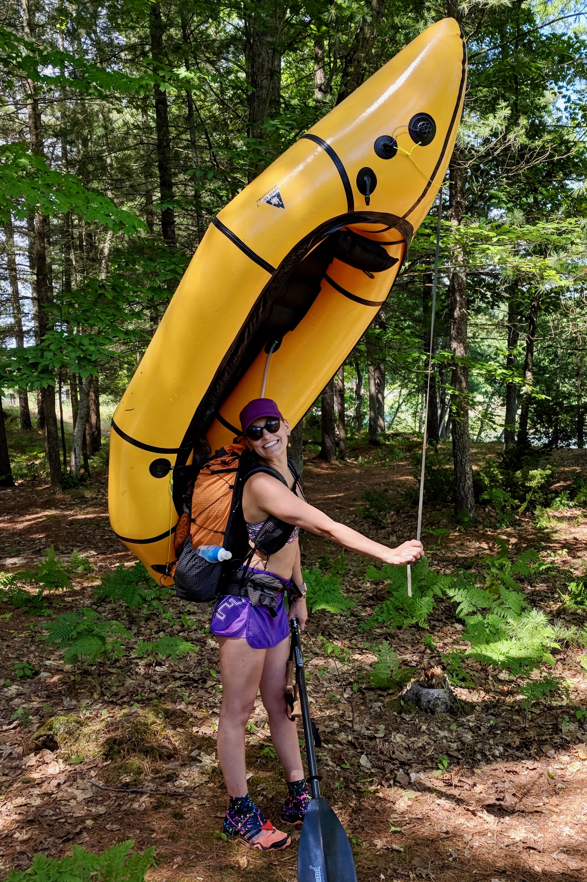
This creek is a good candidate for using the “Dial Method” of pack attachment, as it makes portaging over logs much faster and easier.
I slowed down to somewhere below one mile per hour “boating” and hiking through this section, and loved every minute of it. Variance in pace through this section is the main reason for the wide trip length window of 1.5-3.5 days listed above.


The middle section of Swift Camp has quite a few river-wide strainers, which are a minor, if frequent, annoyance at normal and low flows. There are also several large wood jams that will require short, brushy portages.
Dog Fork creek adds a bit of water to Swift Camp, and then Sons Branch adds a bit more. After Sons Branch, you may not have to get back out of your boat at all. The creek descends down to the level of the Red River, and you’ll paddle flat water for the last mile or two as you approach the river, and your trailhead.
Water Level Check
Swift Camp Creek doesn’t run high enough to boat except after good rains, but I don’t know exactly how much water it needs to be “boatable.” This stream is the most difficult to check for boatable levels due to its remoteness.
First, check the water level in the lower creek by looking at it from above, on the KY715 road. There are a couple places that should give you a view from the road. If it’s high enough there, you may want to take the slow drive out to Rock Bridge Arch Trailhead and hike the half-mile asphalt trail down 300 vertical feet to lay eyes on the upper creek. You may want to walk in the water through the arch, “around the corner” as the creek curves to the right to get another view before you make your decision. But if ever there was a creek worth “butt-scooting” your boat down, this is it. You can vary your starting location on this loop so that your arrival at Upper Swift Camp Creek hopefully coincides with the highest water levels.
According to Paddling Kentucky, the Red’s minimum navigable flow is 180 CFS at the gauge at Clay City. With a packraft, you can probably fudge that a little. Winter and spring are almost guaranteed to have enough water, but summer and fall are more conditional. There are two bridges in the area that make it easy to visually check the level.
Mapping Resources
CalTopo map of all routes
KML file of Swift Camp Loop
How to use the CalTopo Map
In the sidebar on the left, there are folders. Each folder represents a route, and can be toggled on or off depending on which route you want to see. Just check or un-check the folders. If more than one route at a time is checked, it will be hard to separate them visually. There is also a folder labeled “Global Objects” that you should keep checked. It contains points that belong to multiple routes, as well as some other scenic points that might spark your curiosity and may be worthy of a diversion.
Mile markers do not necessarily start at the trailhead, as you’ll choose your own starting point for each loop.
These maps can be printed cheaply online using Skurka’s printing advice.